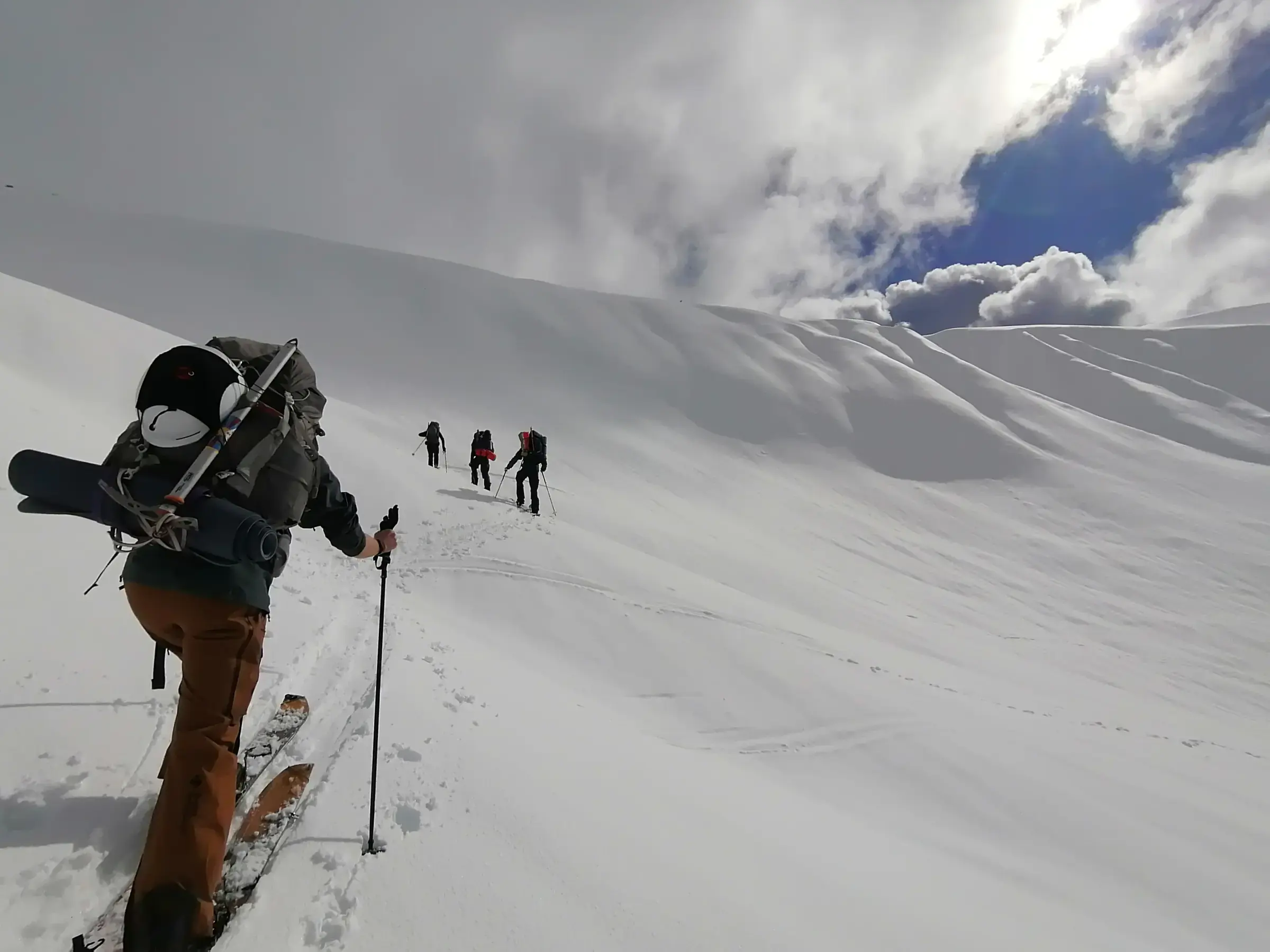
Avalanche terrain intelligence for western Canada
See where terrainmeets the forecast.Every slope. Every day.
Free slope analysis, route drawing, GPS recording, and AI-powered terrain assessment. No credit card. 14-day full trial.

Live overlays
Not static terrain. Live forecast data on the mountain.
The problem
Five apps, zero correlation.
Every backcountry trip starts with the same ritual: Avalanche Canada for the forecast, SpotWx for weather models, Windy for wind, CalTopo for terrain, DriveBC for road conditions. The most critical step -- combining what the forecast says with what the terrain actually looks like -- happens entirely in your head.
Backcountry Aspect puts it all on one map.
Backcountry Aspect
All five data sources. One pin.

How it works
Three steps to a terrain decision
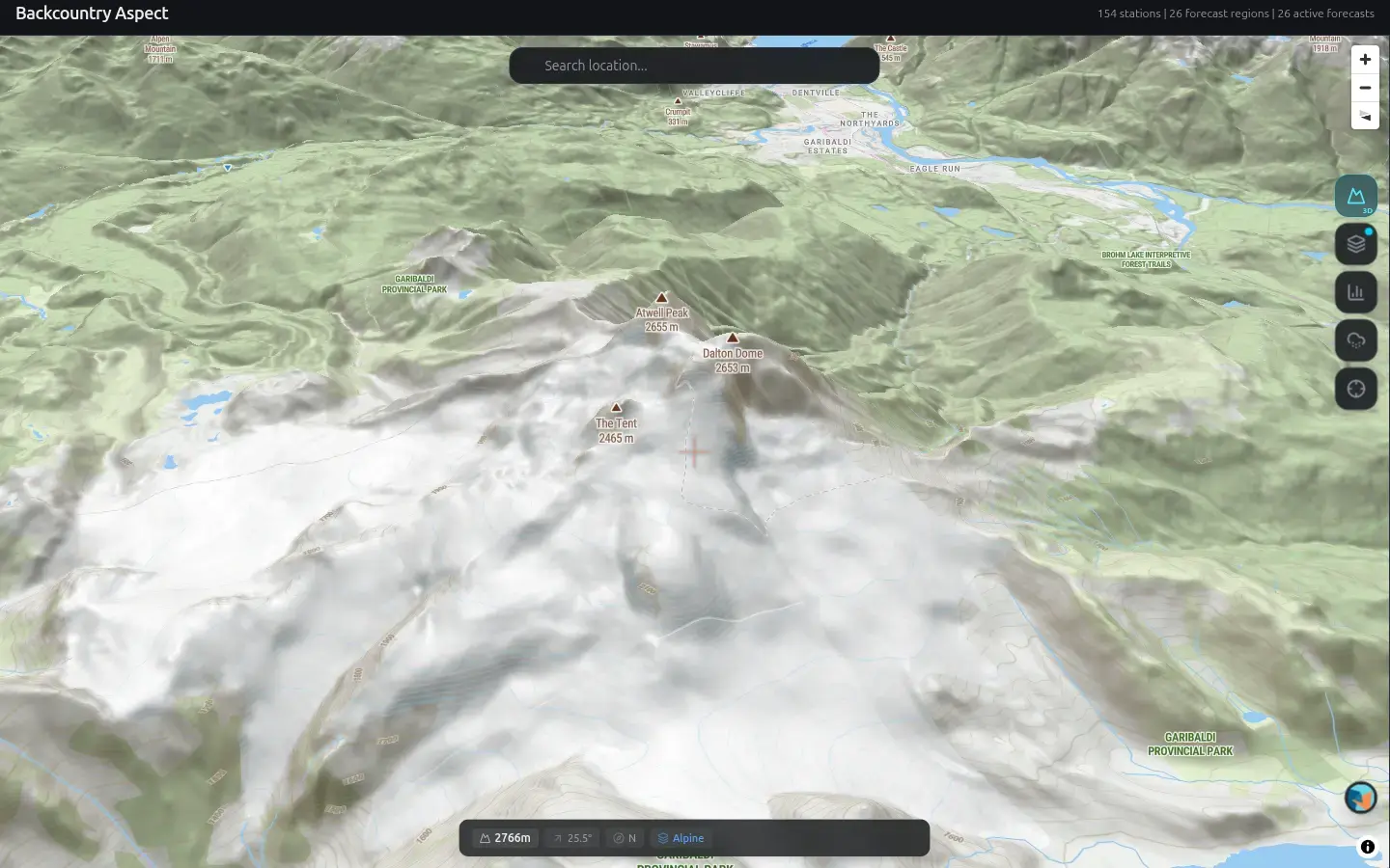
Drop a pin
Search or browse anywhere in BC. Tap to place a pin on the slope you want to assess.
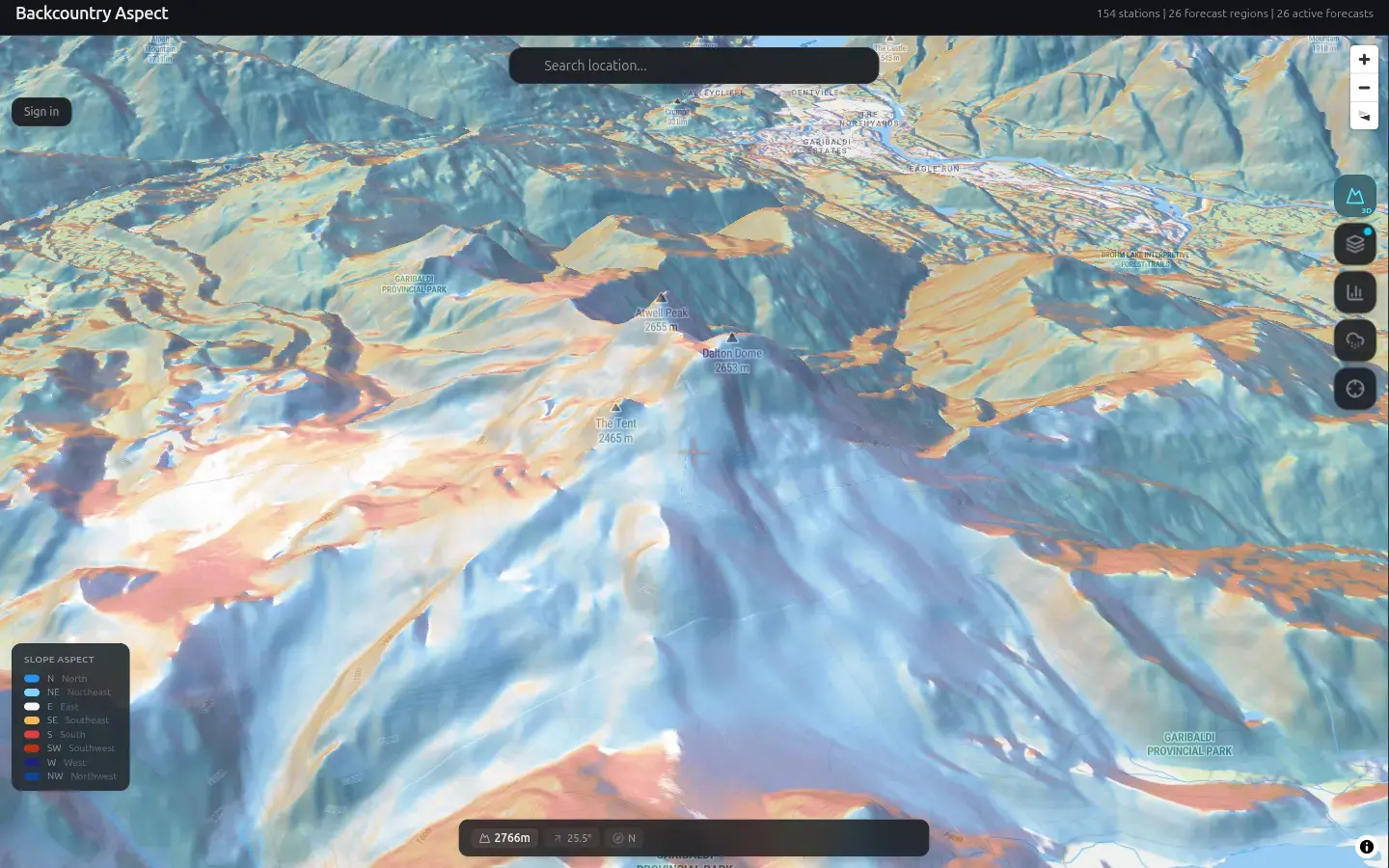
See terrain analysis
Slope angle at 1m, aspect, ATES rating, elevation band, and the current avalanche bulletin -- all at your pin.
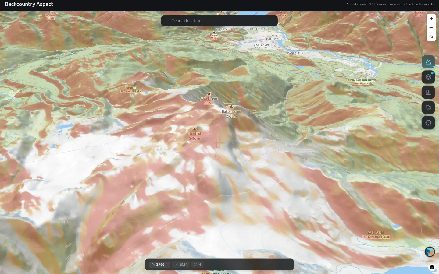
Get AI terrain analysis
Brian contextualizes the regional forecast to your slope. Goes beyond the bulletin -- a targeted analysis, not a summary.
Features
Every safety data point. Free.
See the Whole Mountain
Full-map slope angle, aspect shading, hazard-terrain intersection, elevation bands, and ATES zones. Every terrain overlay, free.
Know the Conditions
150+ weather stations, 24-hour wind history for wind slab assessment, live DriveBC road conditions, and recent MIN observations.
Draw Your Route
Route drawing with terrain stats, GPS recording, built-in inclinometer, and saved locations. See slope distribution along the way.
Weather Intelligence
Dynamic wind loading overlay, precipitation phase, satellite imagery with history, snowpack timeline, and 10-day extended forecast.
Brian AI Terrain Analysis
Brian contextualizes regional forecasts to your specific slope, aspect, and elevation. Each assessment includes a confidence level.
Professional Tools
Solar exposure overlay with time scrubber, PRA (potential release areas), 1m LiDAR terrain, observation recording, and API access.

Pricing
You're not buying an app. You're backing better avalanche tools.
Free
$0
Forever
- Slope angle overlay (full map)
- Aspect shading overlay
- Hazard-terrain overlay
- Elevation bands + ATES zones
- Avalanche Canada bulletins
- 150+ weather stations + 24hr wind
- Route drawing + GPS recording
- Built-in inclinometer
- 1 Brian AI assessment/month
No credit card required
Founding Member
$29
$39CAD/year, locked in forever
- Everything in Free, plus:
- Wind loading overlay
- Precipitation phase + snow accumulation
- Satellite imagery + history timeline
- Snowpack timeline + season history
- 10-day extended forecast (GDPS)
- Weather consequence alerts
- 10 Brian AI assessments/month
- 500 saved locations
- Price locked permanently
Guide
$99
CAD/year
- Everything in Premium, plus:
- Solar exposure overlay + time scrubber
- PRA (potential release areas)
- 1m LiDAR terrain resolution
- Unlimited Brian AI assessments
- Observation recording
- Trip plan + data export
- API access (Bearer token)
Day pass available: $5.99 CAD for 24 hours of Premium access.
Data sources
Data you can trust
Backcountry Aspect provides terrain, weather, and avalanche forecast data for trip planning purposes. AI-generated assessments are not a substitute for avalanche safety training, professional guidance, or direct field observation. Weather models, terrain data, and AI analysis may contain errors or omissions. Terrain analysis does not identify all terrain traps. Data freshness varies by source. You are solely responsible for your decisions in avalanche terrain. Always verify conditions in the field.
Backcountry forecasts save lives. They deserve better tools.
Get Started FreeNo credit card required. 14-day full Premium trial on signup.